Tree removal in Lilydale
Lilydale is a town inside a green wedge. Its streets sit under two different tree rules, and the farmland around them under a third.
We connect you with a local arborist who works in the Yarra Valley.
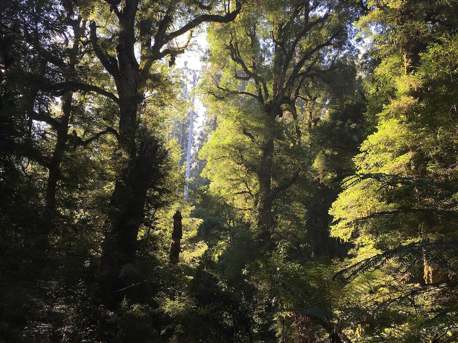
Ask for a quoteYarra Ranges National Park, near Warburton. Photo: Miffymaws, CC BY-SA 4.0

The rule in Lilydale
Lilydale's houses sit under one of two township overlays, and which one is yours changes the size of tree the permit catches. We sampled the planning maps at 182 points across the suburb. In the Neighbourhood Residential streets, 13 of 25 points were under SLO22 and 12 under SLO23. All 16 points in the larger, low-density blocks were SLO22.
- 50 cm
- around the trunk, 1.3 m up, under SLO22. About a 16 cm trunk. SLO22 also needs a permit for indigenous vegetation of any size.
- 80 cm
- around the trunk, 1.3 m up, under SLO23. About a 26 cm trunk. SLO23 has no separate rule for native plants. Size is the test.
- 2 m
- Neither overlay applies within 2 m of a building. Under both, branches over a house, garage or shed can be cut back to 2 m clear.
- 10 m
- The 10/30 rule, where it reaches. Only 5 of our 25 Neighbourhood Residential points were in a Bushfire Prone Area, but 12 of the 16 low-density points were. A house in one, built or approved before 10 September 2009, can use it. The conditions.
Both overlays exempt dead vegetation, lopping or pruning that helps a tree regrow, and the council's listed environmental weeds.
Get a free property report from VicPlan to see which overlays cover your block.
Checked 23 October 2026 against Yarra Ranges Planning Scheme, Schedule 22 to Clause 42.03 (SLO22), Yarra Ranges Planning Scheme, Schedule 23 to Clause 42.03 (SLO23) and Victoria Planning Provisions, Clause 52.12 (bushfire protection exemptions).
Near the station: the canopy-tree rule
The eight points in the Residential Growth Zone had no landscape overlay at all. DDO7, the overlay for the residential streets around the town centre, covers them. It shapes new buildings, and needs no permit to remove a tree.
The state's canopy-tree rule does apply there, and in the Neighbourhood Residential streets alongside the township overlays. On a lot with a house, a tree at least 5 m tall with a canopy at least 4 m across needs a permit if its trunk is within 6 m of the narrowest street frontage or 4.5 m of the rear boundary. On a vacant lot, any such tree does.
Checked 23 October 2026 against Victoria Planning Provisions, Clause 52.37 (canopy trees), Yarra Ranges Planning Scheme, Schedule 7 to Clause 43.02 (DDO7) and Victoria Planning Provisions, Clause 62.02 (buildings and works not requiring a permit).
Trees with heritage controls
More than 20 heritage places in Lilydale carry tree controls. The public ones:
- The Queen Victoria Jubilee Avenue of trees along the Maroondah Highway.
- The historic street trees of Anderson Street, Castella Street, Clarke Street, the southern end of Cave Hill Road, part of The Eyrie, and the western edge of the recreation reserve. Anderson and Castella Streets are named after the family of Lilly de Castella, the early settler the town is named for.
- Melba Park, and the Lilydale Cemetery, where Dame Nellie Melba is buried.
- St John's Anglican Church in Jones Street, and the former Methodist church and hall and the court house in Castella Street.
- The olive tree that gave the Olive Tree shopping centre its name.
- The old Lilydale to Warburton railway, now the rail trail.
A group of houses in the Mount View Estate carries tree controls too. If your block is in a Heritage Overlay, the property report gives its number, and the schedule says whether trees are controlled there.
Checked 23 October 2026 against Yarra Ranges Planning Scheme, Schedule to Clause 43.01 (Heritage Overlay), Victoria Planning Provisions, Clause 43.01 (Heritage Overlay) and Wikipedia: Lilydale, Victoria.
The farmland around the town
By area, most of Lilydale is green wedge. About 75 of our 182 points fell on farm and bush zoned that way, under SLO6, the "rolling hills and bushy agriculture" overlay. Its permit takes in native vegetation of any size and any tree over 1.1 m around. The exemptions reach 4 m from a building, not 2 m, and planted windrows and woodlots can come out under a property management plan the council has accepted. SLO6 also needs a permit for a new fence, with some exceptions.
ESO1 came up at 36 points, mostly the same green wedge land. It exempts dead vegetation except a standing dead tree over 1.3 m around, so a big dead gum near a paddock needs a permit even though SLO6 alone would let it go.
Checked 23 October 2026 against Yarra Ranges Planning Scheme, Schedule 6 to Clause 42.03 (SLO6) and Yarra Ranges Planning Scheme, Schedule 1 to Clause 42.01 (ESO1).
Olinda Creek, the lake and the old quarry
Olinda Creek runs down from the Dandenongs through Lilydale to the Yarra. The flood overlay, for land that can go under water, came up at 15 of our points. It needs a permit for buildings and works, a new fence included, but not for removing a tree.
The Kinley estate is on the former Lilydale quarry, the source of "Lilydale toppings". It has a zone of its own, built around a development plan that had to identify the site's significant trees and which would be kept. A tree on a Kinley lot is a question for the property report and the council.
Checked 23 October 2026 against Victoria Planning Provisions, Clause 44.04 (Land Subject to Inundation Overlay), Victoria Planning Provisions, Clause 62.02 (buildings and works not requiring a permit), Yarra Ranges Planning Scheme, Schedule 1 to Clause 37.02 (CDZ1, former Lilydale Quarry) and Wikipedia: Lilydale, Victoria.
The rule next door
- Chirnside Park
- SLO23, the 80 cm overlay, at all 38 residential points we sampled. Its houses mostly date from the 1970s, on old grazing land.
- Mooroolbark
- SLO23 at all 92 residential points, with SLO22 on the larger blocks.
- Coldstream
- SLO22, the 50 cm rule, at every town point we sampled.
- Wandin North and Gruyere
- Farmland under SLO6, and in Wandin North the red-soil SLO5 as well. SLO22 covers Wandin North's village.
Every overlay in the valley is in the permit guide.
Checked 23 October 2026 against Yarra Ranges Planning Scheme, Schedule 22 to Clause 42.03 (SLO22), Yarra Ranges Planning Scheme, Schedule 23 to Clause 42.03 (SLO23) and Yarra Ranges Planning Scheme, Schedule 6 to Clause 42.03 (SLO6).
Ask for a quote
Tell us where you are and what needs doing. We pass it to a local arborist who works in the Yarra Valley. They ring you back to talk about the job.