Tree removal in Millgrove
In Millgrove's streets the bushfire rule, not a landscape overlay, decides most of it. Up on the slopes, the overlays take over.
We connect you with a local arborist who works in the Yarra Valley.
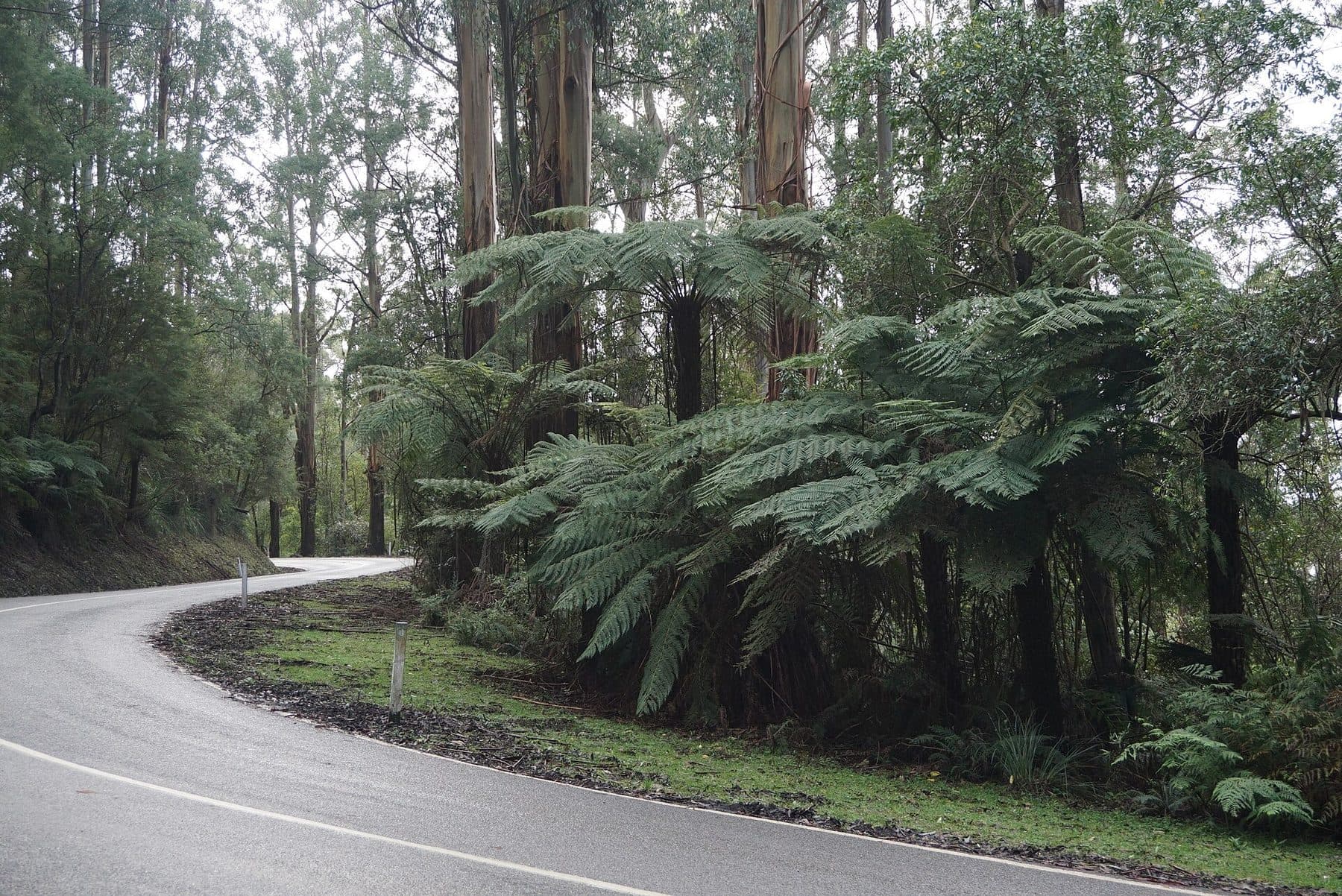
Ask for a quoteMount Donna Buang, above Warburton. Photo: MDRX, CC BY-SA 4.0

The rule in Millgrove
None of the 9 points we sampled on Millgrove's residential streets had a landscape overlay. All 9 were in a Bushfire Prone Area and under the Bushfire Management Overlay, so around an older house all three of the bushfire rule's distances can apply:
- 30 m
- Anything but trees, on the same condition.
- 50 m
- Anything but trees, for a house in the overlay, if it was built before 10 September 2009, or lawfully without a permit before 18 November 2011, or approved before 10 September 2009 and built before 18 November 2011.
- 10 m
- Trees included, around a house built or approved before 10 September 2009.
Beyond those distances, the state's canopy-tree rule is the one to check on a town lot: a tree at least 5 m tall with a canopy 4 m across, with its trunk within 6 m of the narrowest street frontage or 4.5 m of the rear boundary, needs a permit. Your property report may still show an overlay on your own block. Every condition of the bushfire rule.
Get a free property report from VicPlan to see which overlays cover your block.
Checked 23 October 2026 against Victoria Planning Provisions, Clause 52.12 (bushfire protection exemptions), Victoria Planning Provisions, Clause 52.37 (canopy trees) and Yarra Ranges Planning Scheme, Schedule 5 to Clause 32.09 (NRZ5).
The slopes above town: SLO4 and the erosion overlay
Around the town, SLO4 came up at 66 of our points. Its statement describes the Yarra valley upstream of Millgrove: steep forested slopes under towering ranges. It needs a permit for native vegetation and trees over 1.1 m around, exempts 4 m from a building and regrowth under 10 years on lawfully cleared land, and asks for a permit to build within 4 m of a tree it protects.
On the Rural Conservation land, 20 of 21 points were also under an erosion overlay, whose permit takes in any vegetation except a tree 50 cm or less around, anything within 2 m of a building, dead vegetation where the soil is reinstated, and lopping for a tree's health.
Checked 23 October 2026 against Yarra Ranges Planning Scheme, Schedule 4 to Clause 42.03 (SLO4), Yarra Ranges Planning Scheme, Schedule to Clause 44.01 (EMO) and Yarra Ranges Planning Scheme, Schedule 1 to Clause 42.01 (ESO1).
A mill town under Donna Buang
Millgrove sits either side of the Warburton Highway, below Mount Donna Buang, Ben Cairn and Mount Little Joe. Its station opened in 1901 and it stayed a timber-milling and farming town into the 1960s. The First World War Avenue of Honour along the highway has heritage tree controls, and so does the old railway line, now the rail trail.
Checked 23 October 2026 against Wikipedia: Millgrove, Victoria and Yarra Ranges Planning Scheme, Schedule to Clause 43.01 (Heritage Overlay).
The rule next door
- Warburton
- SLO22 on its house blocks, mostly with the erosion overlay as well.
- Wesburn
- Its centre point was in the bushfire overlay with no landscape overlay, like Millgrove's streets.
Checked 23 October 2026 against Yarra Ranges Planning Scheme, Schedule 22 to Clause 42.03 (SLO22) and Victoria Planning Provisions, Clause 52.12 (bushfire protection exemptions).
Ask for a quote
Tell us where you are and what needs doing. We pass it to a local arborist who works in the Yarra Valley. They ring you back to talk about the job.