Tree removal in Wesburn
Wesburn is a strip of houses along the highway with forest and farms behind. On the house blocks, the bushfire rule matters more than any overlay.
We connect you with a local arborist who works in the Yarra Valley.
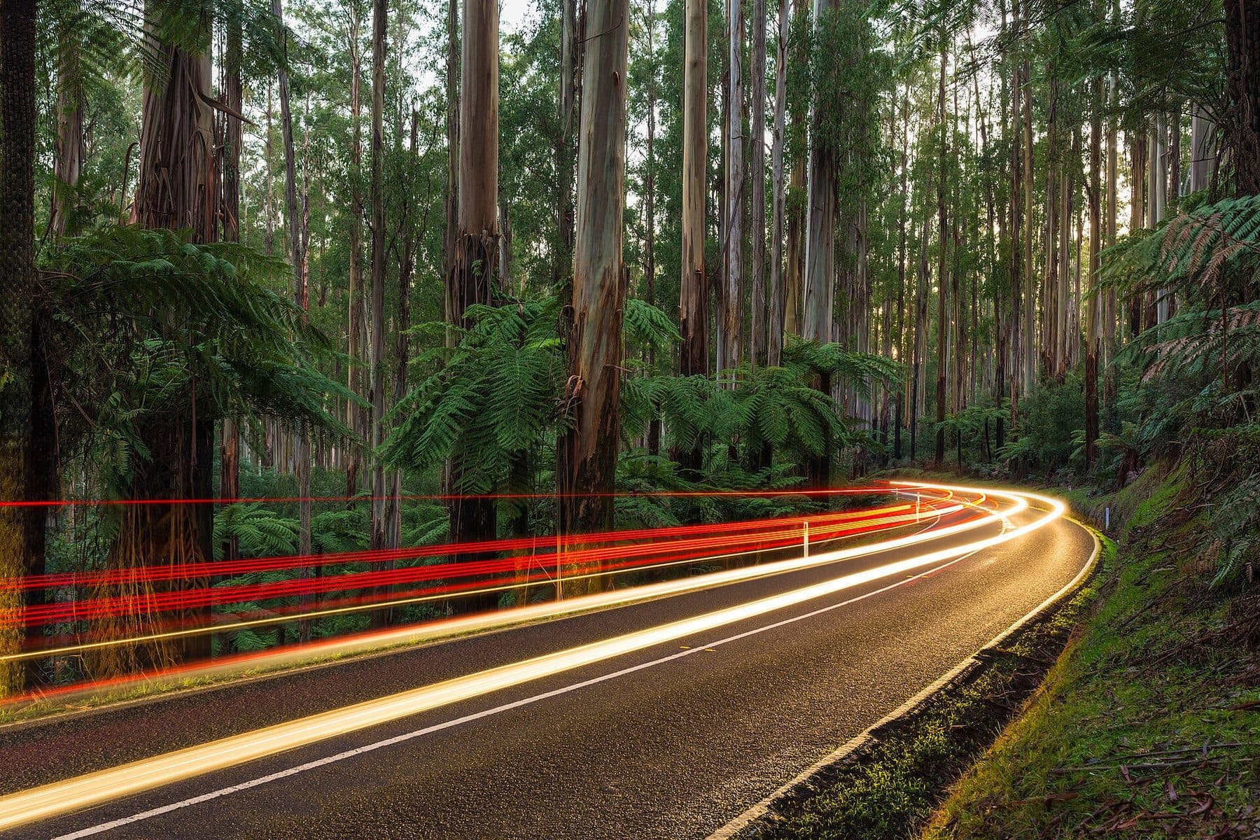
Ask for a quoteThe Black Spur, past Healesville. Photo: Diliff, CC BY-SA 4.0

The rule in Wesburn
Wesburn's houses run in a narrow strip along the Warburton Highway, and only 6 of our 452 points fell on them. None of the 6 had a landscape overlay. What decides a tree on those blocks is the state's bushfire rule, because every point in Wesburn was in a Bushfire Prone Area:
- 30 m
- Everything except trees, on the same condition.
- 10 m
- Trees and everything else, around a house built or approved before 10 September 2009.
On the four Neighbourhood Residential points the canopy-tree rule applies as well: a tree 5 m tall with a 4 m canopy needs a permit if its trunk is within 6 m of the narrowest street frontage or 4.5 m of the rear boundary. The two low-density points were in the Bushfire Management Overlay, where vegetation other than trees can be cleared to 50 m around an older house. The conditions.
Get a free property report from VicPlan to see which overlays cover your block.
Checked 23 October 2026 against Victoria Planning Provisions, Clause 52.12 (bushfire protection exemptions) and Victoria Planning Provisions, Clause 52.37 (canopy trees).
Behind the highway
Most of Wesburn is forest: 282 points of public conservation land, all under ESO1. The private farm and bush land splits three ways. SLO4, the ranges valleys overlay, came up at 78 points, SLO6 at 55 and SLO2 at 27. Each needs a permit for native vegetation and for trees over 1.1 m around and exempts 4 m from a building; SLO4 and SLO2 exempt young regrowth on cleared land, and SLO6 does not.
The Bushfire Management Overlay covered 382 of the 452 points. A few points carried SCO16, the specific control for the Warburton mountain bike trails.
Checked 23 October 2026 against Yarra Ranges Planning Scheme, Schedule 4 to Clause 42.03 (SLO4), Yarra Ranges Planning Scheme, Schedule 6 to Clause 42.03 (SLO6), Yarra Ranges Planning Scheme, Schedule 2 to Clause 42.03 (SLO2) and Yarra Ranges Planning Scheme, Schedule to Clause 45.12 (Specific Controls Overlay).
West Warburton
The name is a contraction of West Warburton. The post office opened as Warburton West in 1893 and took the name Wesburn in 1925. Wesburn Cemetery and the Warburton Hotel, both on the highway, carry heritage tree controls, as does the rail trail.
Checked 23 October 2026 against Wikipedia: Wesburn, Victoria and Yarra Ranges Planning Scheme, Schedule to Clause 43.01 (Heritage Overlay).
The rule next door
- Millgrove and Warburton
- Millgrove's town blocks are like Wesburn's, with no landscape overlay; Warburton's are SLO22, mostly with the erosion overlay.
- Yarra Junction
- SLO22 at every town point we sampled.
Checked 23 October 2026 against Yarra Ranges Planning Scheme, Schedule 22 to Clause 42.03 (SLO22).
Ask for a quote
Tell us where you are and what needs doing. We pass it to a local arborist who works in the Yarra Valley. They ring you back to talk about the job.