Tree removal in Warburton
Warburton is a town of steep blocks under tall forest. Every point we sampled was in the bushfire overlay, and most of the house blocks were under the erosion overlay too.
We connect you with a local arborist who works in the Yarra Valley.
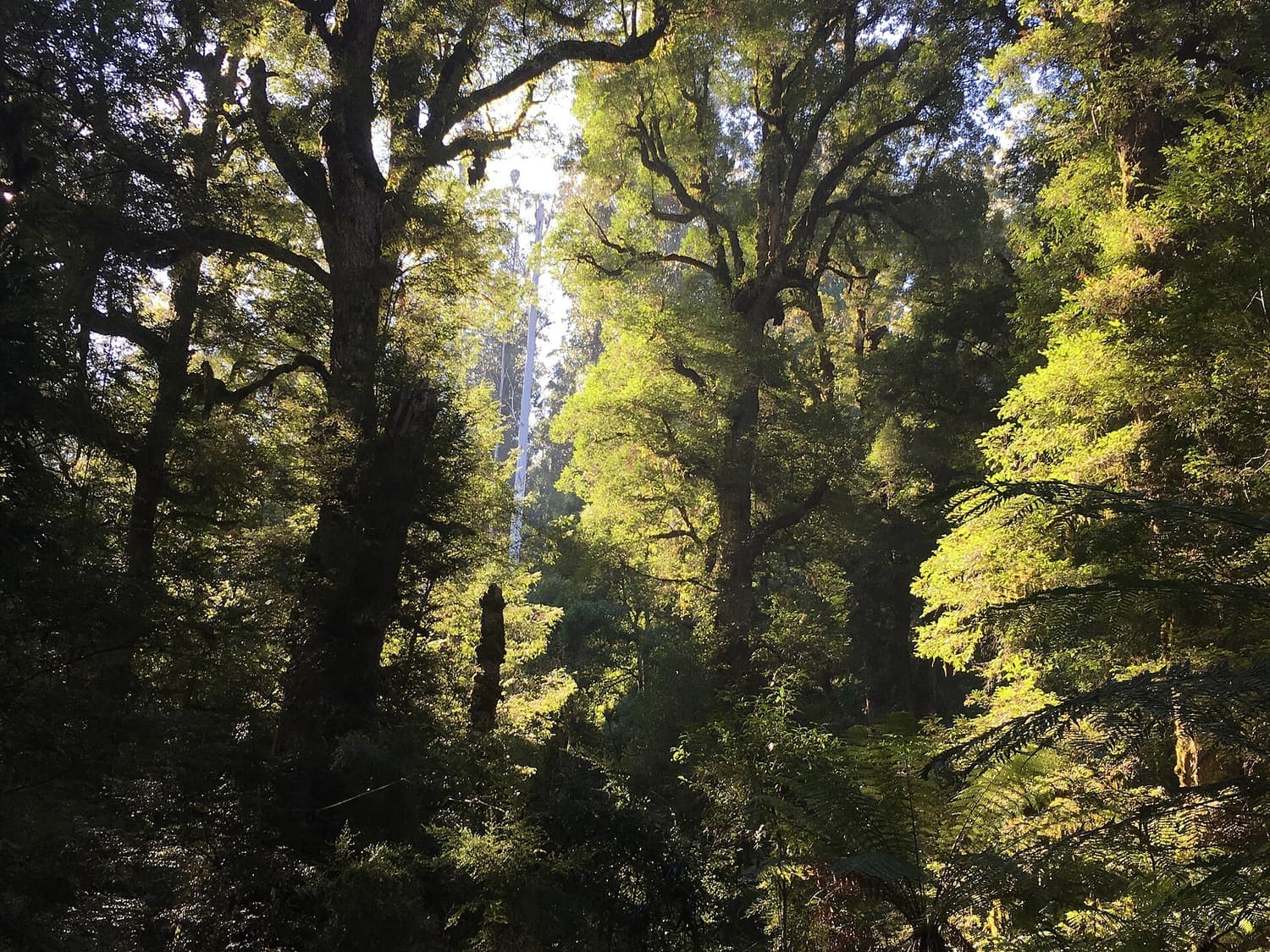
Ask for a quoteYarra Ranges National Park, near Warburton. Photo: Miffymaws, CC BY-SA 4.0

The rule in Warburton
We sampled 1,476 points across Warburton, and every one was in a Bushfire Prone Area and under the Bushfire Management Overlay. The 30 that fell on the town's house blocks were all under SLO22, which needs a permit for indigenous plants of any size and for any tree past this size:
- 50 cm
- around the trunk, 1.3 m up. A trunk about 16 cm thick.
- 2 m
- SLO22's permit doesn't reach within 2 m of a building. Limbs over a house, garage or shed may be cut back to 2 m.
- 10 m
- The bushfire rule, here in full. For a house built or approved before 10 September 2009: trees out to 10 m, other vegetation to 30 m, and, because the whole town is in the overlay, other vegetation out to 50 m if the house meets that rule's dates. The conditions.
SLO22 exempts dead vegetation, pruning that helps regrowth and the listed environmental weeds as well.
Get a free property report from VicPlan to see which overlays cover your block.
Checked 23 October 2026 against Yarra Ranges Planning Scheme, Schedule 22 to Clause 42.03 (SLO22) and Victoria Planning Provisions, Clause 52.12 (bushfire protection exemptions).
A town on steep ground
SLO22's own description puts Warburton in the cleft between steep hillsides, with houses climbing the slopes of the Donna Buang Range and spreading along the river flats. The planning map agrees: 23 of the 30 house-block points were also under an Erosion Management Overlay.
Where it applies, the erosion overlay is the stricter of the two. Removing any vegetation needs its permit unless the tree is 50 cm or less around, or within 2 m of a building, or dead with the ground reinstated, or being lopped for health or stability. Digging out a stump on a slope is works as well, so ask the council first. The bushfire distances in the state's rule still override both.
Checked 23 October 2026 against Yarra Ranges Planning Scheme, Schedule 22 to Clause 42.03 (SLO22), Yarra Ranges Planning Scheme, Schedule to Clause 44.01 (EMO), Yarra Ranges Planning Scheme, Schedule 3 to Clause 44.01 (EMO3) and Victoria Planning Provisions, Clause 52.12 (bushfire protection exemptions).
Forest, catchment and the valley above Millgrove
Most of the locality isn't private land. 806 of our points were public conservation land, national park and forest, and 495 were water catchment, most of that under the heritage listing for the Maroondah water supply system. ESO1 covers nearly all of both.
The private farm and bush blocks are under SLO4, the "ranges valleys" overlay, whose statement describes the Yarra valley upstream of Millgrove: steep forested slopes and a backdrop of towering ranges. It needs a permit for native vegetation and trees over 1.1 m around, exempts 4 m from a building and young regrowth on lawfully cleared land, and needs a permit for building or works within 4 m of a tree it protects.
The southern network of the Warburton Mountain Bike Destination has a Specific Controls Overlay of its own, SCO16, which came up at 23 points.
Checked 23 October 2026 against Yarra Ranges Planning Scheme, Schedule 4 to Clause 42.03 (SLO4), Yarra Ranges Planning Scheme, Schedule 1 to Clause 42.01 (ESO1), Yarra Ranges Planning Scheme, Schedule to Clause 45.12 (Specific Controls Overlay) and Yarra Ranges Planning Scheme, Schedule to Clause 43.01 (Heritage Overlay).
Timber, gold and guest houses
The first Warburton was a gold town, Yankee Jim's Creek, on the slopes of Mount Little Joe. The present town was surveyed in the valley below in 1884. Joseph Panton entered the name Mt Donna Buang on his map in 1865.
Public heritage places in Warburton with tree controls:
- The swing bridge, tennis courts, club house and rotunda.
- The Mechanics Institute, and the hospital and its gardens.
- The Mount Donna Buang bridle tracks and road.
- The old timber mill sites, and a stand of mountain ash in the O'Shannassy catchment.
- The old railway line, now the Lilydale to Warburton Rail Trail.
Checked 23 October 2026 against Wikipedia: Warburton, Victoria and Yarra Ranges Planning Scheme, Schedule to Clause 43.01 (Heritage Overlay).
The rule next door
- Millgrove
- The bushfire overlay at every town point, but no landscape overlay on its house blocks.
- Yarra Junction
- SLO22 in town as here, and every point bushfire-prone.
- Wesburn
- Its centre point fell in the bushfire overlay, with no landscape overlay.
Checked 23 October 2026 against Yarra Ranges Planning Scheme, Schedule 22 to Clause 42.03 (SLO22) and Victoria Planning Provisions, Clause 52.12 (bushfire protection exemptions).
Ask for a quote
Tell us where you are and what needs doing. We pass it to a local arborist who works in the Yarra Valley. They ring you back to talk about the job.