Tree removal in Healesville
Every house block we sampled in Healesville was in a Bushfire Prone Area and the bushfire overlay, so the state's clearing rules matter here more than in the valley's suburban edge.
We connect you with a local arborist who works in the Yarra Valley.
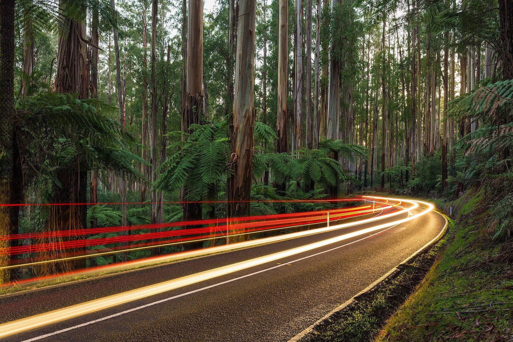
Ask for a quoteThe Black Spur, past Healesville. Photo: Diliff, CC BY-SA 4.0

The rule in Healesville
In the town itself, the house blocks are under SLO22, the township overlay. We sampled 42 points in Healesville's residential zones and found it at 41. It needs a council permit for indigenous vegetation of any size, and for any tree over this size:
- 50 cm
- around the trunk, 1.3 m above the ground. A trunk of about 16 cm, which takes in most garden trees once they are established.
- 2 m
- SLO22 doesn't apply within 2 m of a building. Branches over a house, garage or shed can be cut back to 2 m clear.
- 10 m
- The 10/30 rule, which reaches every house point we sampled. All 42 were in a Bushfire Prone Area. Around a house built or approved before 10 September 2009, trees within 10 m can be cleared without a planning permit.
SLO22 also exempts dead vegetation, pruning to help a plant regenerate, and the council's listed environmental weeds.
Get a free property report from VicPlan to see which overlays cover your block.
Checked 23 October 2026 against Yarra Ranges Planning Scheme, Schedule 22 to Clause 42.03 (SLO22) and Victoria Planning Provisions, Clause 52.12 (bushfire protection exemptions).
A town inside the bushfire overlay
All 42 of the house-zone points were also under the Bushfire Management Overlay, in one schedule or another. That matters for the third distance in the state's rule. Beyond the 10 m for trees and the 30 m for everything else, a house in that overlay can have vegetation other than trees cleared out to 50 m. The house has to be old enough: built before 10 September 2009, or built lawfully without a planning permit before 18 November 2011, or approved before 10 September 2009 and built before 18 November 2011.
In much of Lilydale and Mooroolbark the bushfire rules reach few houses. In Healesville they are usually the first question to ask. Every condition of the 10/30 rule.
DDO6, at the 14 Neighbourhood Residential points, sets how new buildings sit on a lot. It needs no permit to remove a tree.
Checked 23 October 2026 against Victoria Planning Provisions, Clause 52.12 (bushfire protection exemptions), Yarra Ranges Planning Scheme, Schedule 6 to Clause 43.02 (DDO6) and Victoria Planning Provisions, Clause 62.02 (buildings and works not requiring a permit).
Trees with heritage controls in town
- Queens Park and The Nook, with its monument, on the Maroondah Highway.
- The street trees and streetscape of Nicholson Street.
- St Brigid's Catholic church, presbytery, convent and school in High Street.
- Coranderrk: the Aboriginal cemetery in Barak Lane, and the bushland reserve with the old station track, water race and sawmill site. Coranderrk was the Aboriginal reserve set up in 1863 just south of the township.
A number of private homes and guest houses carry tree controls as well. Your property report names the Heritage Overlay if one covers your block.
Checked 23 October 2026 against Yarra Ranges Planning Scheme, Schedule to Clause 43.01 (Heritage Overlay), Victoria Planning Provisions, Clause 43.01 (Heritage Overlay) and Wikipedia: Healesville.
Farms, forest and the catchment
Healesville is a big locality, 142 km² by Wikipedia's count, and our grid reached 1,578 points. More than half fell on the Maroondah water supply land, under its own heritage listing as part of Melbourne's water system. That is public land, not anyone's back paddock.
The private land around the town is under three landscape overlays, each with the 1.1 m trunk test, a permit for native vegetation of any size, and a 4 m exemption near buildings:
- SLO6 on most of the farmland, with no exemption for regrowth.
- SLO2, the open valley landscape, on part of it, which exempts regrowth under 10 years on lawfully cleared land.
- SLO4, the "ranges valleys" overlay, at 23 points in the forested country toward Don Valley, with the same regrowth exemption.
The erosion overlays came up at 93 points, most of them on conservation-zoned land. The flood overlay came up at 141, nearly all on the farmland; the town sits on the Watts River, which runs to the Yarra. ESO1 came up at 137 of the 416 farm points, with its permit for standing dead trees over 1.3 m around.
Checked 23 October 2026 against Yarra Ranges Planning Scheme, Schedule 6 to Clause 42.03 (SLO6), Yarra Ranges Planning Scheme, Schedule 2 to Clause 42.03 (SLO2), Yarra Ranges Planning Scheme, Schedule 4 to Clause 42.03 (SLO4), Yarra Ranges Planning Scheme, Schedule to Clause 44.01 (EMO), Victoria Planning Provisions, Clause 44.04 (Land Subject to Inundation Overlay), Yarra Ranges Planning Scheme, Schedule 1 to Clause 42.01 (ESO1) and Wikipedia: Healesville.
The rule next door
- Badger Creek and Chum Creek
- SLO6 farm and bush: 117 of Badger Creek's 129 points. Chum Creek's centre point fell under SLO6, ESO1 and the bushfire overlay.
- Coldstream
- SLO22 on its town streets, and a floodplain of SLO2 and SLO6 around them.
- Woori Yallock
- SLO22 at all 9 of its town points, the same 50 cm rule as Healesville.
Every overlay in the valley is in the permit guide.
Checked 23 October 2026 against Yarra Ranges Planning Scheme, Schedule 6 to Clause 42.03 (SLO6), Yarra Ranges Planning Scheme, Schedule 22 to Clause 42.03 (SLO22) and Yarra Ranges Planning Scheme, Schedule 23 to Clause 42.03 (SLO23).
Ask for a quote
Tell us where you are and what needs doing. We pass it to a local arborist who works in the Yarra Valley. They ring you back to talk about the job.